Tag: walk

11/26: Lady Bird Lake Volkssport Walk

Fall day in Austin

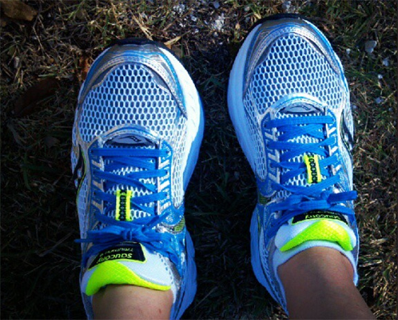
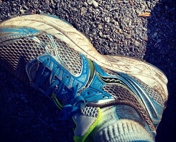
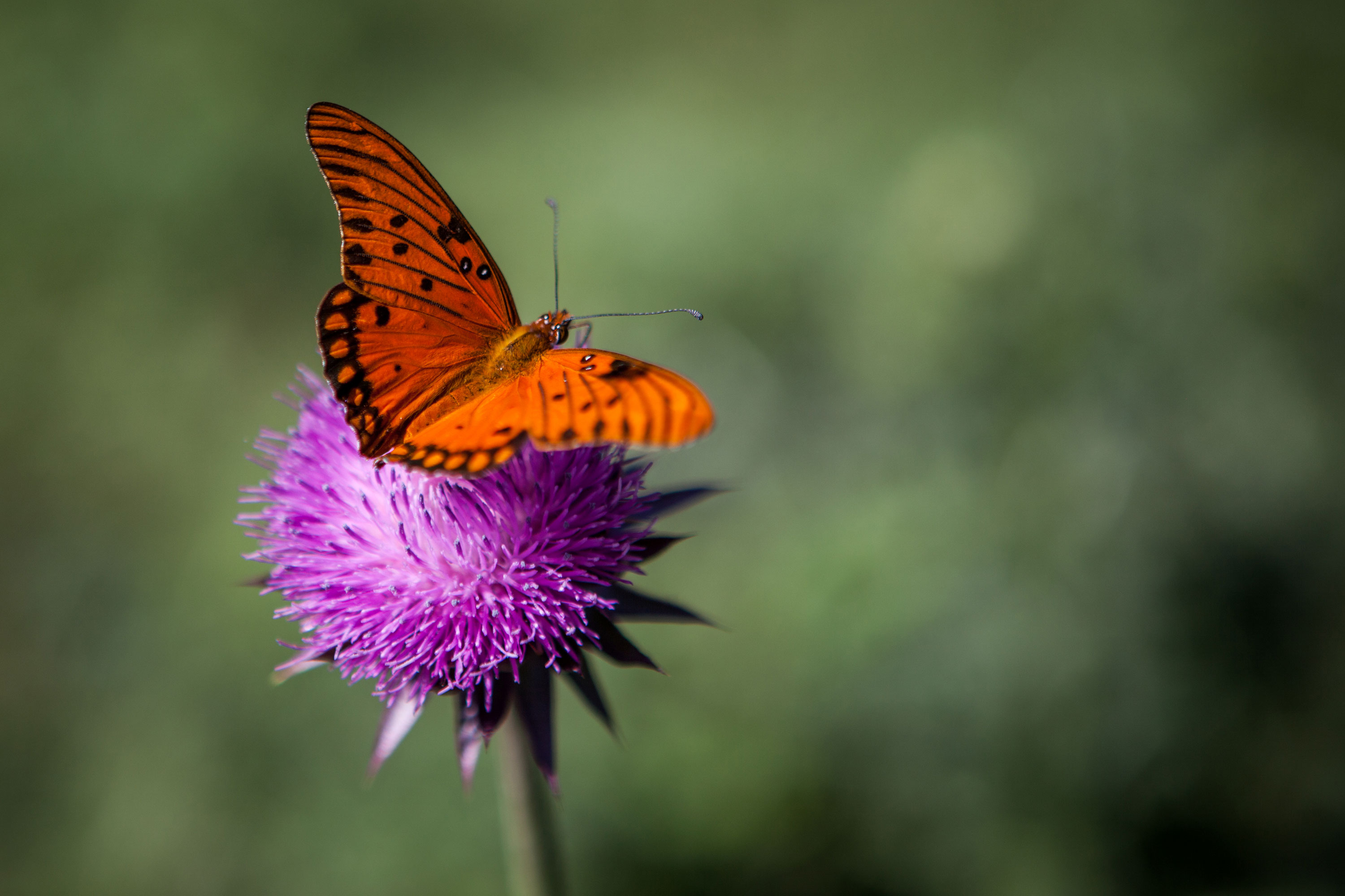
The only thing that could have made today’s walk more perfect was if I’d taken my big camera with. As it was, I decided to take my point and shoot since I was carrying a picnic lunch. Big mistake – the weather and scenery were wonderful.

I did the Lady Bird Lake annual Volkssport Walk (run by the Colorado River Walkers). The walk starts at a hotel just off Riverside and winds around Lady Bird Lake and Barton Springs. It was a lovely fall afternoon – if a big windy. The parks were full of people relaxing and/or trying to work off their Thanksgiving dinner from the previous Thursday. It was one of those, “why the heck don’t I come down here and enjoy this more often” kind of things. I mean, seriously – it’s so lovely here I should come down and walk around the lake all the darn time.

Overheard:
Mom to tot in stroller: Isn’t it nice out? And no mosquitoes biting us.
Tot: Why not? Were are they? On vacation?
Mom: *chuckling* Yes, sweetie, they are on vacation.

Photos are here or watch this slide show:

Route:

Info per Endomondo:
Distance 8.65 mi – more like 6.5
Duration 3h:58m:59s
Avg. Speed 2.2 mph
Max. Speed 25.8 mph – hahahaha! Man, the GPS on my phone sucks
Calories 874 kcal
Hydration 0.94L
Min. Altitude 340 ft
Max. Altitude 500 ft
Total Ascent 525 ft
Total Descent 532 ft

11/24: AustinFit training walk

Oye. Quite simply: Oye. Today’s walk was 9.5 miles. The last mile and a half were miserable. My hip was killing me – reminding me that it’s bone-on-bone with every step. I was so very happy when the walk was done.

Route

Info (as reported by Endomondo)

Distance 11.01 mi (wow – that’s way off)
Duration 2h:45m:02s
Avg. Speed 4.0 mph (nope)
Min. Altitude 360 ft
Max. Altitude 719 ft
Total Ascent 1447 ft
Total Descent 1482 ft

11/22: Turkey Trot

Turkey Trot

Happy Thanksgiving! For today’s walk, I signed up to to the annual Thundercloud Subs Turkey Trot. This 5 mile race raises money for a very worthwhile cause and wonderful organization: Caritas.

I thought I’d left my house in plenty of time to get downtown and find a parking place, but I totally underestimated the traffic generated by people driving to the event! After sitting in stop and start traffic for what felt like forever, I finally get parked and hoof it over to the start area just as they started the race. Of course, given the size of the event, I was then stuck in more stop and start walking traffic as it took a good 5+ minutes to just get to the start line. It was a lovely day for a walk and I thoroughly enjoyed it. I also walked pretty darn fast for me!

The official results:
Chip Time: 1:14:27
Pace: 14:53/M

Randomly overheard
A bizarre conversation between walkers about how to determine baby sex by depth of penetration. It even took a holiday appropriate turn when a turkey baster was mentioned. Did I really need to hear any of that? I should have brought my headphones!

Route

Info (as reported by Endomondo)
Distance 5.60 mi (again, credit for too many miles)
Duration 1h:22m:30s
Avg. Speed 4.1 mph (nope – see results above)
Min. Altitude 394 ft
Max. Altitude 663 ft
Total Ascent 758 ft
Total Descent 749 ft

11/20: Morning walk

Up to take a walk before work? How my life has changed. It feels so good to get up and start my day this way, though.

Route

Info

Distance 4.16 mi
Duration 1h:06m:14s
Avg. Speed 3.8 mph
Min. Altitude 658 ft
Max. Altitude 743 ft
Total Ascent 66 ft
Total Descent 35 ft

Playlist

The Reivers: Dragon Flies
Television: Prove It
Simon & Garfunkel: The Sound Of Silence
R.E.M.: Beachball
Guadalcanal Diary: Always Saturday
The Police: Invisible Sun
The Beatles: Can’t Buy Me Love
Crowded House: Kill EyeM
U2: A Day Without Me
Simon & Garfunkel: Mrs. Robinson
Michelle Shocked: Untitled
The Who: Who Are You
U2: Hawkmoon 269
Robbie Robertson: Somewhere Down The Crazy River
The Beatles: Polythene Pam
Pearl Jam: Black
Paul Westerberg: Runaway Wind

11/17: Austin Volkssport walk

Walk #2 of the day was a 10k with the Austin Volkssport group: The Colorado River Walkers. The walk was in the lovely Mary Moore Searight Park in South Austin – a place I’d never been. It turned out to be much sunnier and less shady than I though. I forgot my hat and ended up with a bit of a sunburn. I also ended up miss-reading the instructions and getting quite lost in the park. I did some parts of the trail more than once and never made it to the 2nd check-point – oops. Since I did go at least 10k, they let me stamp my book any way. Whew!

Route

Info
Distance 6.21 mi
Duration 2h:10m:25s
Avg. Speed 2.9 mph
Min. Altitude 529 ft
Max. Altitude 668 ft
Total Ascent 329 ft
Total Descent 226 ft

11/17: AustinFit group walk

An insane day of walking started with an 8 mile walk with the AustinFit half-marathon training group. Our route went from south Austin all the way through Hyde Park! If you had told me a year ago I’d walk that far, I would have said you were insane. Then again, if you’d told me that from Riverside to 45th was just 8 miles, I’d also say you were insane.

Route

Info
Distance 9.26 mi (really just 8)
Duration 2h:18m:26s
Avg. Speed 4.0 mph
Min. Altitude 404 ft
Max. Altitude 709 ft
Total Ascent 1494 ft
Total Descent 1472 ft

11/13: Training walk

A standard training walk around the neighborhood before work.

Route

Info

Distance 3.93 mi (I think it was just 3 miles, though)
Duration 1h:02m:35s
Avg. Speed 3.8 mph
Min. Altitude 649 ft
Max. Altitude 745 ft
Total Ascent 183 ft
Total Descent 148 ft

Cross Mountain Walk

Butterfly and thistle

Butterfly and thistle

Today was a holiday, so I took advantage of the day off by driving to Fredericksburg and doing one of their year-round Volkssport walks. It started with a walk up Cross Mountain – thus named for the rather large crucifix at the top of it. Oh, and it’s more of a hill than a mountain. From there, it went into through the countryside and into a suburb, which was kind of boring. After that, though, was an old cemetery with really lovely fences around some of the graves. Then it kind of circled back around through the suburb.

It was a beautiful day – perfect for walking and just enjoying the feeling of the sun on my face. In some spots, it was so quiet (when the wind wasn’t blowing) with just the sound of my breathing and foot-falls. Afterwards, I was so hungry and devoured an omelet and a piece of pie at Denny’s!

Photos can be found here or view the slideshow:

Route

Info (as recorded by Endomondo)
Distance 7.31 mi
Duration 3h:15m:25s
Avg. Speed 2.2 mph
Min. Altitude 1702 ft
Max. Altitude 1908 ft
Total Ascent 605 ft
Total Descent 633 ft

Loading...
X